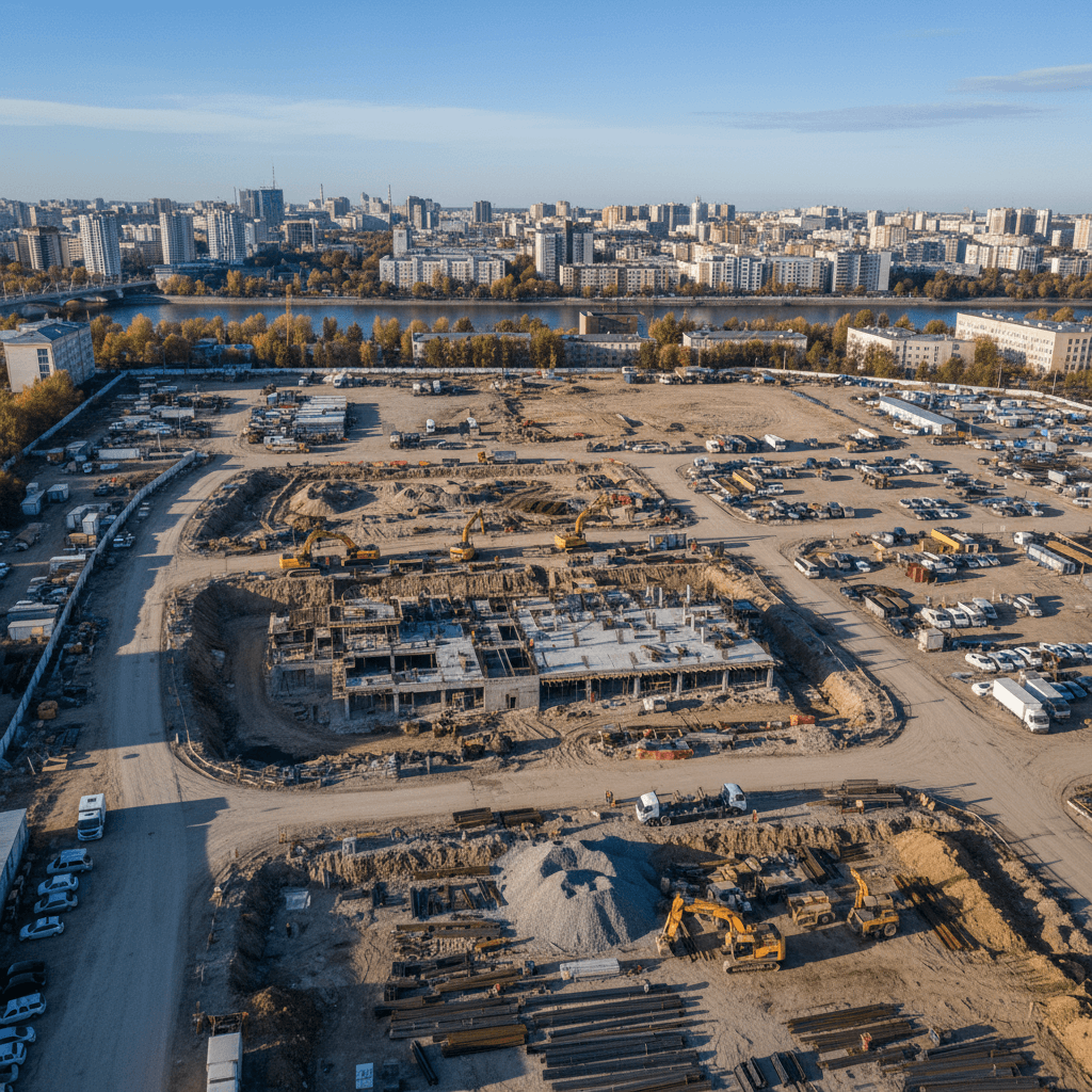
Optimize construction projects with AI-powered geospatial intelligence that provides comprehensive site analysis, infrastructure planning, and environmental monitoring for smarter construction decisions.
Computer vision and geospatial analysis integrate satellite imagery, drone footage, and ground sensors to provide detailed insights into construction site conditions, progress tracking, and resource optimization.
Intelligent spatial analysis enables better project planning, risk assessment, and environmental compliance while reducing costs and improving construction efficiency through data-driven decision making.
Discover the powerful capabilities that make our Geospatial Intelligence for Construction solution industry-leading.
Comprehensive analysis of construction sites using satellite imagery and drone data for optimal planning
AI-powered recommendations for optimal placement of infrastructure based on site conditions and requirements
Real-time monitoring of environmental conditions and compliance with sustainability requirements
High-definition 3D models of construction sites for planning, visualization, and progress tracking
Get started with our Geospatial Intelligence for Construction solution and experience the power of AI computer vision technology.
Discover our comprehensive suite of computer vision solutions designed to enhance operational efficiency.